Above normal warming of the Atlantic Ocean is what Climatologist Orvin Paige says is ‘partially responsible’ for Antigua and Barbuda experiencing one of the wettest Februarys on record this year.
A cold front that mainly increased rainfall has climatologists describing last month’s rain levels as ‘nothing short of historic’.
In February, the twin island experienced an extreme weather event characterised by record-breaking rainfall.
The phenomenon occurred as a cold front that originated from the southeastern coast of the United States and maintained its cold characteristics even as it reached the area.
The result was an unprecedented deluge, with some areas receiving more than 4 inches of rainfall.
Receiving an average 2.32 inches of rain, February 8 was recorded as the wettest day since 1982, surpassing the previous record of 1.54 inches.
In his blog, 268Weather, lead climatologist, Dale Destin noted that the likelihood of experiencing so much rain during that period ‘is at less than 0.2 percent’.
To put things into perspective, Destin noted that it’s plausible that the last time February witnessed such torrential rains at the VC Bird International Airport was centuries ago, possibly even decades before the arrival of Christopher Columbus.
“The probability of witnessing a similar event again in one’s lifetime is exceedingly slim; indeed, the chances of becoming a millionaire seem far more favourable,” Destin said.
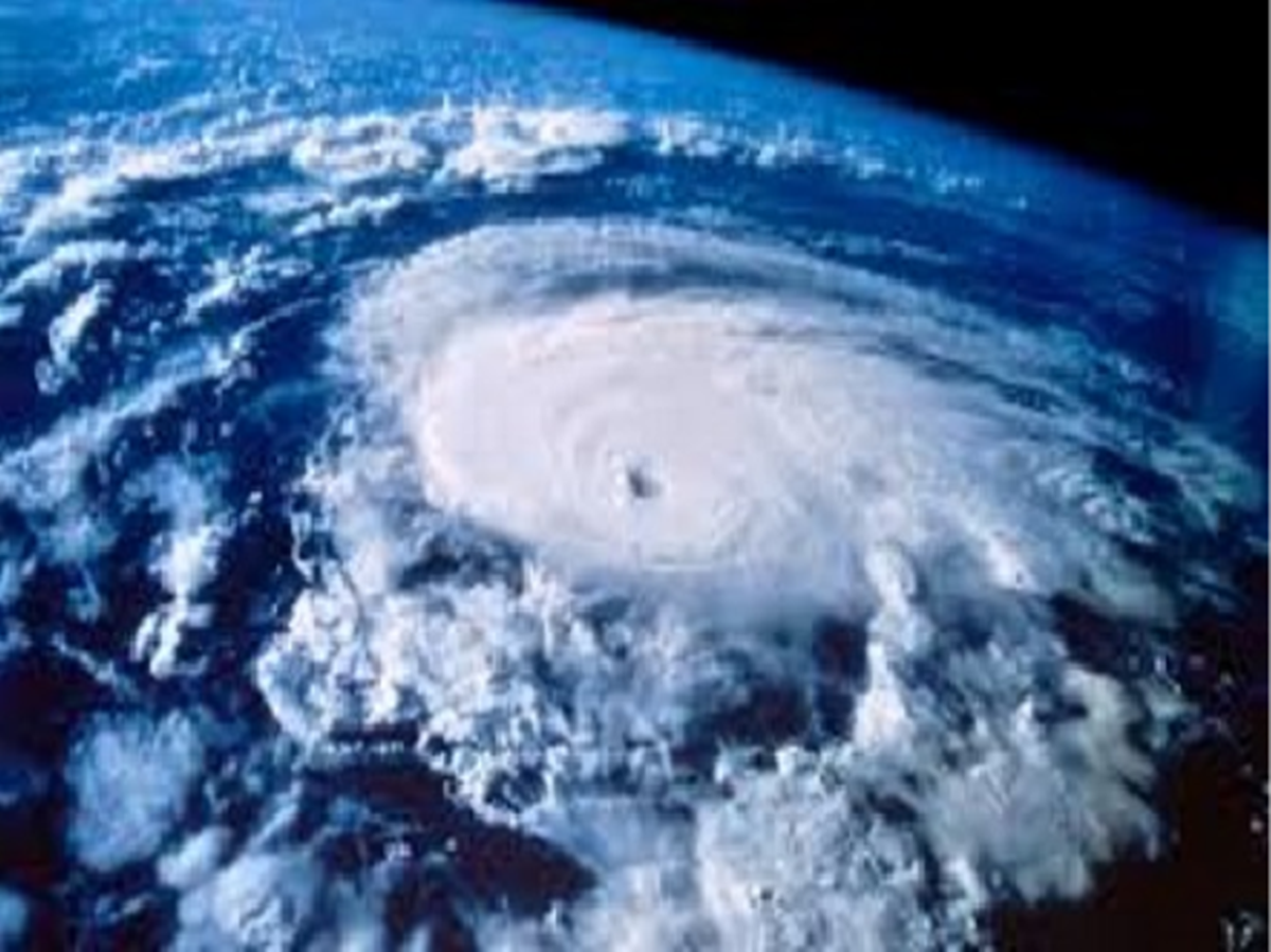
Climatologists here believe this is a sign of what is so far forecast to be a very active hurricane season. It’s not the only unlikely conditions that residents can expect to see, as weather models show potential for increased Atlantic warming later this year.
Currently, attention is focused on the warmth of the Atlantic Ocean, which is approaching levels typically seen during the summer months.
“If this warming trend continues, then the atmosphere has quite a bit of energy with the heat transfer from the ocean to fuel these storms, [and] with these conditions that we’re looking at, it is possible for us to see Tropical cyclone activity before the hurricane season; that is quite possible,” Paige said.
Meteorologists now must closely monitor these conditions, as the current atmospheric setup suggests the potential for early tropical storm development ahead of June 1.
Most of the tropical storms that affect islands like Antigua and Barbuda originate from tropical waves formed off the coast of Africa.
As the month of March progresses, meteorologists are closely watching for any early appearances of tropical waves originating from the West African coast.
Paige said because the oceans are warming higher than usual during this period, there is the likelihood that Antigua and Barbuda will experience more intermittent rainfall in the coming months, as well as the possibility of some extreme weather events occurring.

